Massachusetts National Geographic Folded Map
🦞 Massachusetts – National Geographic State Guide Map
Waterproof • Tear-Resistant • Travel Map
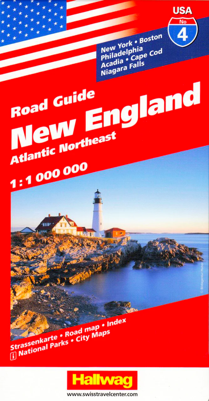
From the cobblestone streets of Boston to the windswept dunes of Cape Cod, National Geographic’s Massachusetts State Guide Map blends meticulous cartography with practical travel information, making it an indispensable resource for exploring the Bay State. Whether you’re tracing the Freedom Trail, skiing in the Berkshires, or heading for a summer escape on Martha’s Vineyard, this map delivers clarity, durability, and detail.
🗺 Comprehensive Statewide Coverage
-
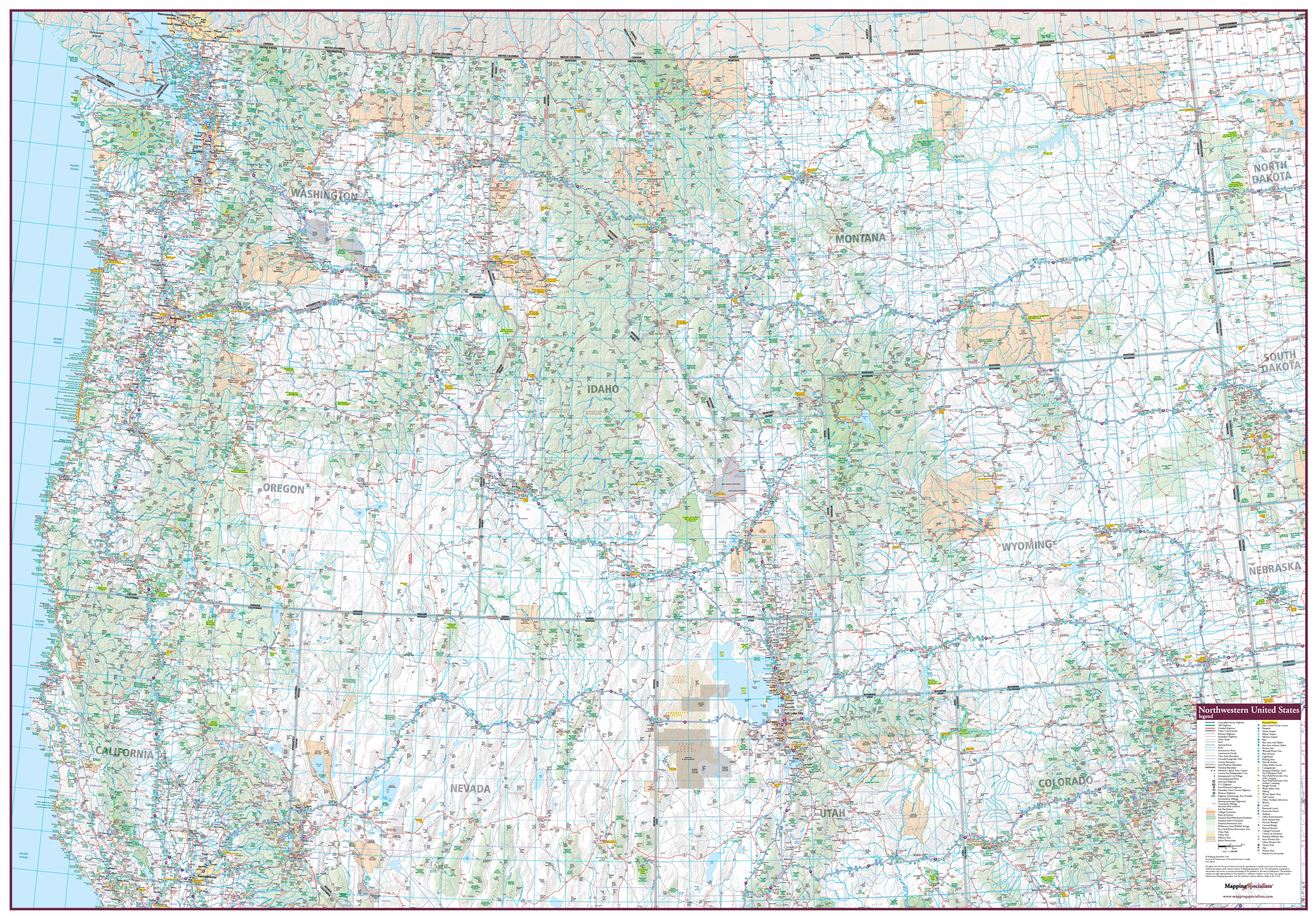
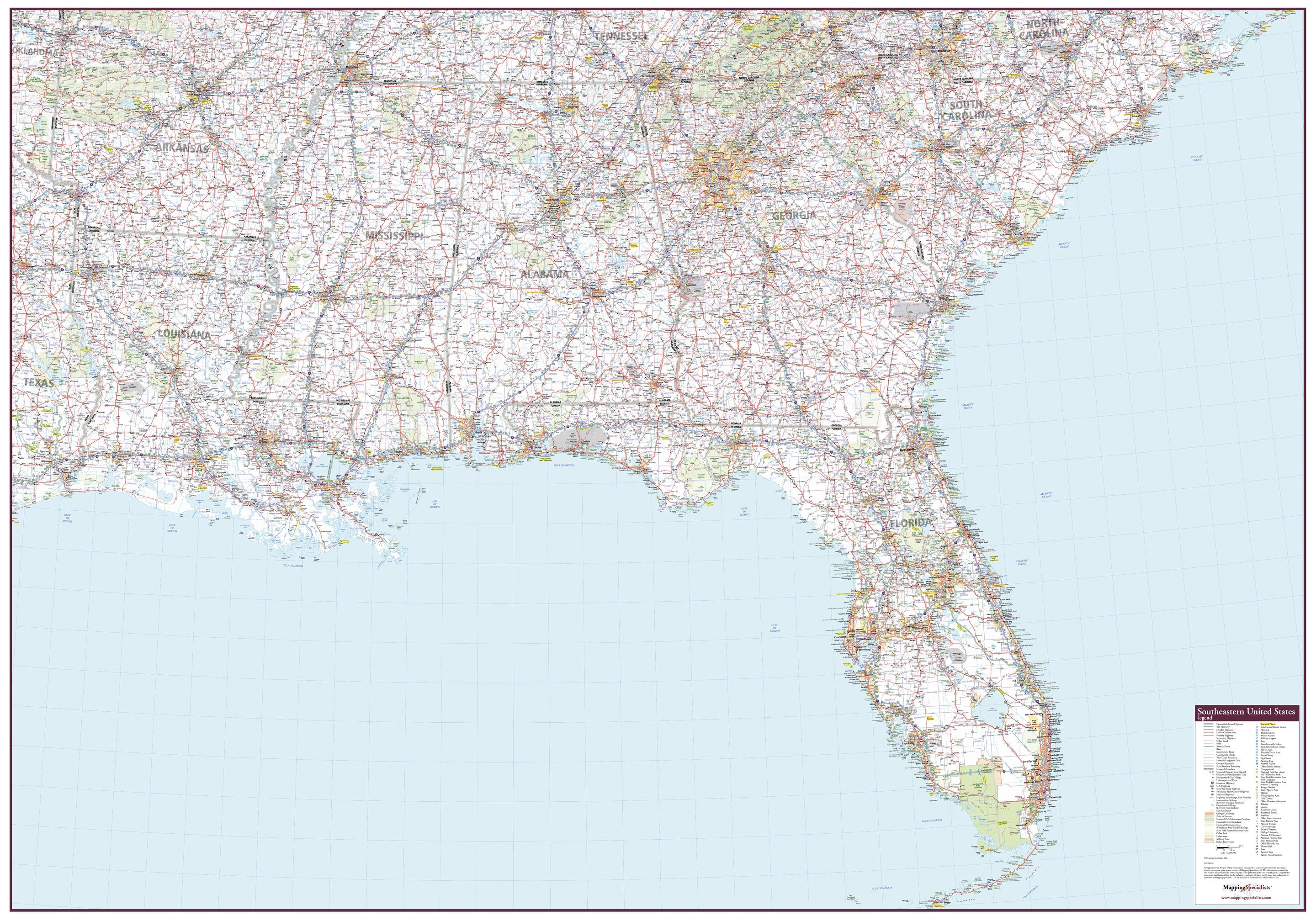
Road Network – All interstate, state, and county routes clearly marked, with mileage indicators for major highways
-
Access Types – Freeways, toll roads, paved and unpaved routes, and scenic byways clearly distinguished
-
Travel Essentials – Rest areas, airports, hospitals, public recreation areas, ski areas, and visitor information centers
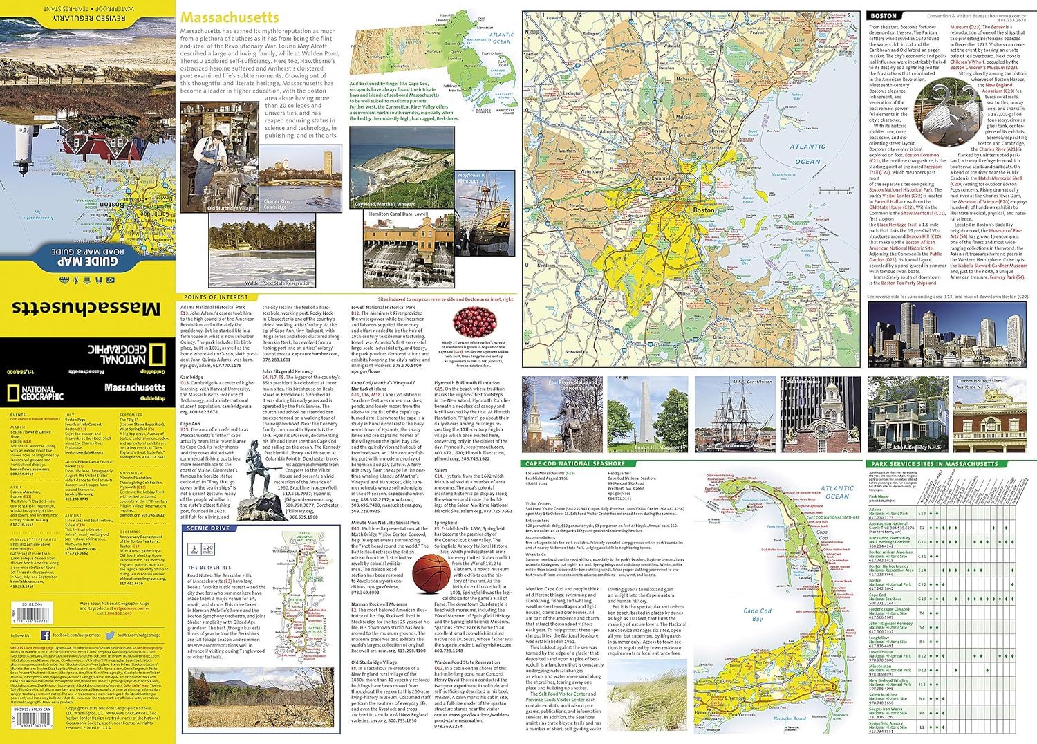
📍 Detailed Insets for Key Destinations
-
Boston Metropolitan Area – Navigate the capital with ease
-
Downtown Boston – A closer look at historic streets, landmarks, and districts
-
Lowell – Once the heart of the American Industrial Revolution
-
Worcester – Central Massachusetts’ cultural and economic hub
🌊 Bonus Travel Guides & Features
-
Cape Cod National Seashore – Includes a dedicated map, visitor contact details, and key sites along the Atlantic shore
-
National Parks & Sites Chart – Service availability at major recreation areas
-
Calendar of Events – Highlighting annual festivals, parades, and cultural happenings
-
Points of Interest Guide – Contact information for Massachusetts’ most popular attractions, from historic sites to outdoor adventures
📐 Product Specifications
| Feature | Detail |
|---|---|
| Publisher | National Geographic Maps |
| Map Type | Folded State Guide Map |
| Material | Waterproof, tear-resistant synthetic paper |
| Scale | Statewide with multiple insets |
| Format | Double-sided |
| Flat Size | 660 mm x 940 mm (26" x 37") |
| Folded Size | 102 mm x 229 mm (4" x 9") |
| Order Info | Order on Demand – Please allow 7–10 working days for delivery |
🎯 Perfect For
-
City explorers navigating Boston and historic towns
-
Outdoor enthusiasts planning coastal hikes, cycling routes, or skiing trips
-
Cultural travellers following the state’s museums, theatres, and festivals
-
Educational trips to Revolutionary War sites and historic districts
With National Geographic’s Massachusetts State Guide Map, you’ll have a trusted, weatherproof, and detail-rich companion to guide you from colonial harbours to mountain trails—all in one beautifully designed, travel-ready format.
Product Information
Product Information
Shipping & Returns
Shipping & Returns


Massachusetts National Geographic Folded Map
Massachusetts National Geographic Folded Map
🦞 Massachusetts – National Geographic State Guide Map
Waterproof • Tear-Resistant • Travel Map
From the cobblestone streets of Boston to the windswept dunes of Cape Cod, National Geographic’s Massachusetts State Guide Map blends meticulous cartography with practical travel information, making it an indispensable resource for exploring the Bay State. Whether you’re tracing the Freedom Trail, skiing in the Berkshires, or heading for a summer escape on Martha’s Vineyard, this map delivers clarity, durability, and detail.
🗺 Comprehensive Statewide Coverage
-
Road Network – All interstate, state, and county routes clearly marked, with mileage indicators for major highways
-
Access Types – Freeways, toll roads, paved and unpaved routes, and scenic byways clearly distinguished
-
Travel Essentials – Rest areas, airports, hospitals, public recreation areas, ski areas, and visitor information centers
📍 Detailed Insets for Key Destinations
-
Boston Metropolitan Area – Navigate the capital with ease
-
Downtown Boston – A closer look at historic streets, landmarks, and districts
-
Lowell – Once the heart of the American Industrial Revolution
-
Worcester – Central Massachusetts’ cultural and economic hub
🌊 Bonus Travel Guides & Features
-
Cape Cod National Seashore – Includes a dedicated map, visitor contact details, and key sites along the Atlantic shore
-
National Parks & Sites Chart – Service availability at major recreation areas
-
Calendar of Events – Highlighting annual festivals, parades, and cultural happenings
-
Points of Interest Guide – Contact information for Massachusetts’ most popular attractions, from historic sites to outdoor adventures
📐 Product Specifications
| Feature | Detail |
|---|---|
| Publisher | National Geographic Maps |
| Map Type | Folded State Guide Map |
| Material | Waterproof, tear-resistant synthetic paper |
| Scale | Statewide with multiple insets |
| Format | Double-sided |
| Flat Size | 660 mm x 940 mm (26" x 37") |
| Folded Size | 102 mm x 229 mm (4" x 9") |
| Order Info | Order on Demand – Please allow 7–10 working days for delivery |
🎯 Perfect For
-
City explorers navigating Boston and historic towns
-
Outdoor enthusiasts planning coastal hikes, cycling routes, or skiing trips
-
Cultural travellers following the state’s museums, theatres, and festivals
-
Educational trips to Revolutionary War sites and historic districts
With National Geographic’s Massachusetts State Guide Map, you’ll have a trusted, weatherproof, and detail-rich companion to guide you from colonial harbours to mountain trails—all in one beautifully designed, travel-ready format.
Product Information
Product Information
Shipping & Returns
Shipping & Returns
Description
🦞 Massachusetts – National Geographic State Guide Map
Waterproof • Tear-Resistant • Travel Map
From the cobblestone streets of Boston to the windswept dunes of Cape Cod, National Geographic’s Massachusetts State Guide Map blends meticulous cartography with practical travel information, making it an indispensable resource for exploring the Bay State. Whether you’re tracing the Freedom Trail, skiing in the Berkshires, or heading for a summer escape on Martha’s Vineyard, this map delivers clarity, durability, and detail.
🗺 Comprehensive Statewide Coverage
-
Road Network – All interstate, state, and county routes clearly marked, with mileage indicators for major highways
-
Access Types – Freeways, toll roads, paved and unpaved routes, and scenic byways clearly distinguished
-
Travel Essentials – Rest areas, airports, hospitals, public recreation areas, ski areas, and visitor information centers
📍 Detailed Insets for Key Destinations
-
Boston Metropolitan Area – Navigate the capital with ease
-
Downtown Boston – A closer look at historic streets, landmarks, and districts
-
Lowell – Once the heart of the American Industrial Revolution
-
Worcester – Central Massachusetts’ cultural and economic hub
🌊 Bonus Travel Guides & Features
-
Cape Cod National Seashore – Includes a dedicated map, visitor contact details, and key sites along the Atlantic shore
-
National Parks & Sites Chart – Service availability at major recreation areas
-
Calendar of Events – Highlighting annual festivals, parades, and cultural happenings
-
Points of Interest Guide – Contact information for Massachusetts’ most popular attractions, from historic sites to outdoor adventures
📐 Product Specifications
| Feature | Detail |
|---|---|
| Publisher | National Geographic Maps |
| Map Type | Folded State Guide Map |
| Material | Waterproof, tear-resistant synthetic paper |
| Scale | Statewide with multiple insets |
| Format | Double-sided |
| Flat Size | 660 mm x 940 mm (26" x 37") |
| Folded Size | 102 mm x 229 mm (4" x 9") |
| Order Info | Order on Demand – Please allow 7–10 working days for delivery |
🎯 Perfect For
-
City explorers navigating Boston and historic towns
-
Outdoor enthusiasts planning coastal hikes, cycling routes, or skiing trips
-
Cultural travellers following the state’s museums, theatres, and festivals
-
Educational trips to Revolutionary War sites and historic districts
With National Geographic’s Massachusetts State Guide Map, you’ll have a trusted, weatherproof, and detail-rich companion to guide you from colonial harbours to mountain trails—all in one beautifully designed, travel-ready format.