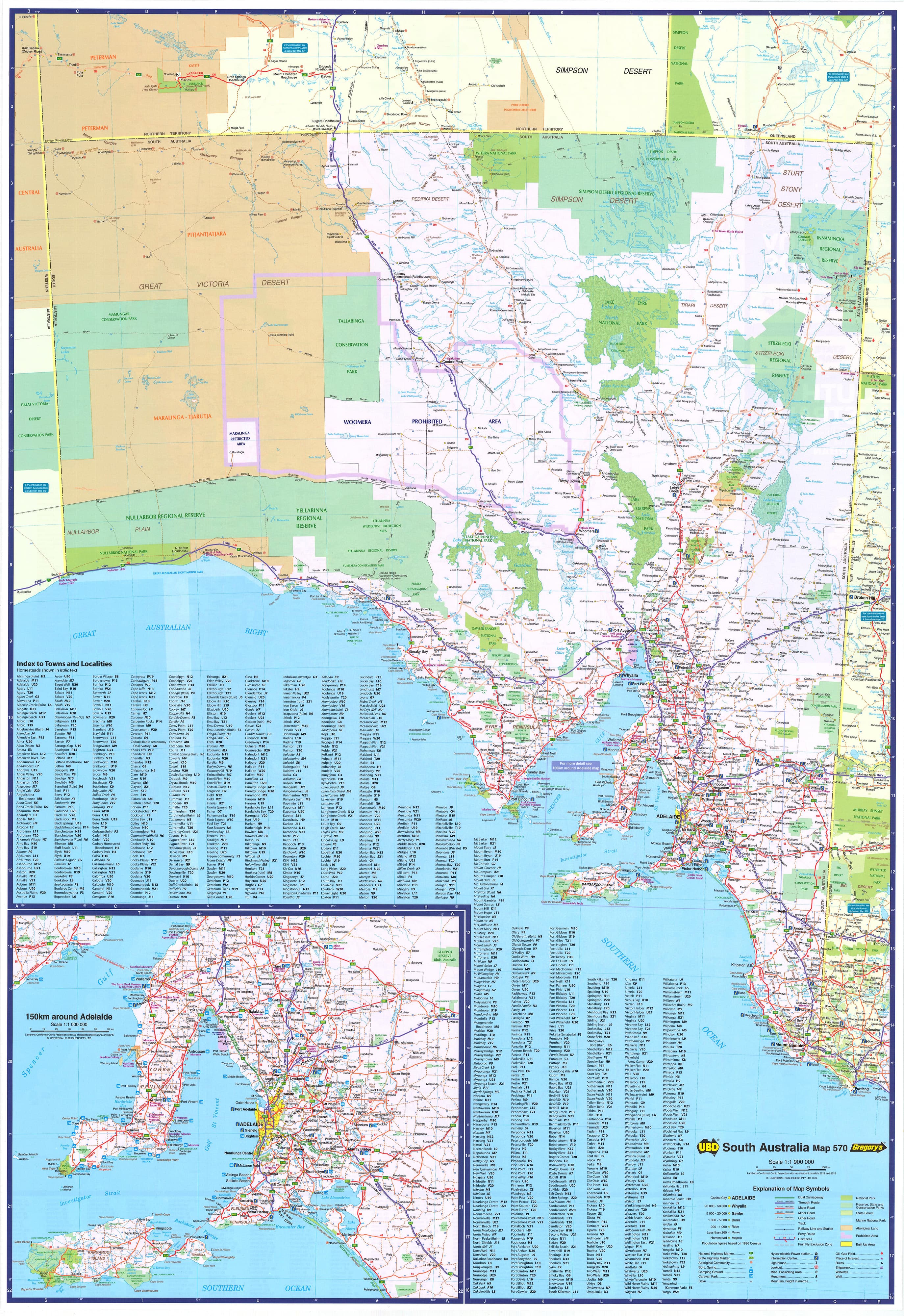
Western Australia UBD 670 map 1400 x 2000mm Laminated Wall Map
The Most Comprehensive State Map of Western Australia – Oversized, Durable, and Incredibly Detailed
Format: Single-Sheet Laminated Wall Map
Size: 1400 mm (W) × 2000 mm (H)
Publisher: UBD Gregory’s
Edition: UBD 670 – Latest Release
Coverage: Statewide with South West Inset
📌 Overview
Covering the vast and diverse expanse of Western Australia, this UBD 670 Mega Map is the largest single-sheet map available of the state. Measuring an impressive 1.4 metres by 2.0 metres, this wall map delivers extraordinary clarity and detail, making it an indispensable reference tool for:
-
Business operations across regional WA
-
Tourism and travel planning
-
Resource exploration and logistics
-
Education, government, and infrastructure planning
Whether you’re tracking distribution routes across the Outback or planning your next 4WD adventure through the Kimberley, this map ensures you see the big picture.
🧭 Key Features
-
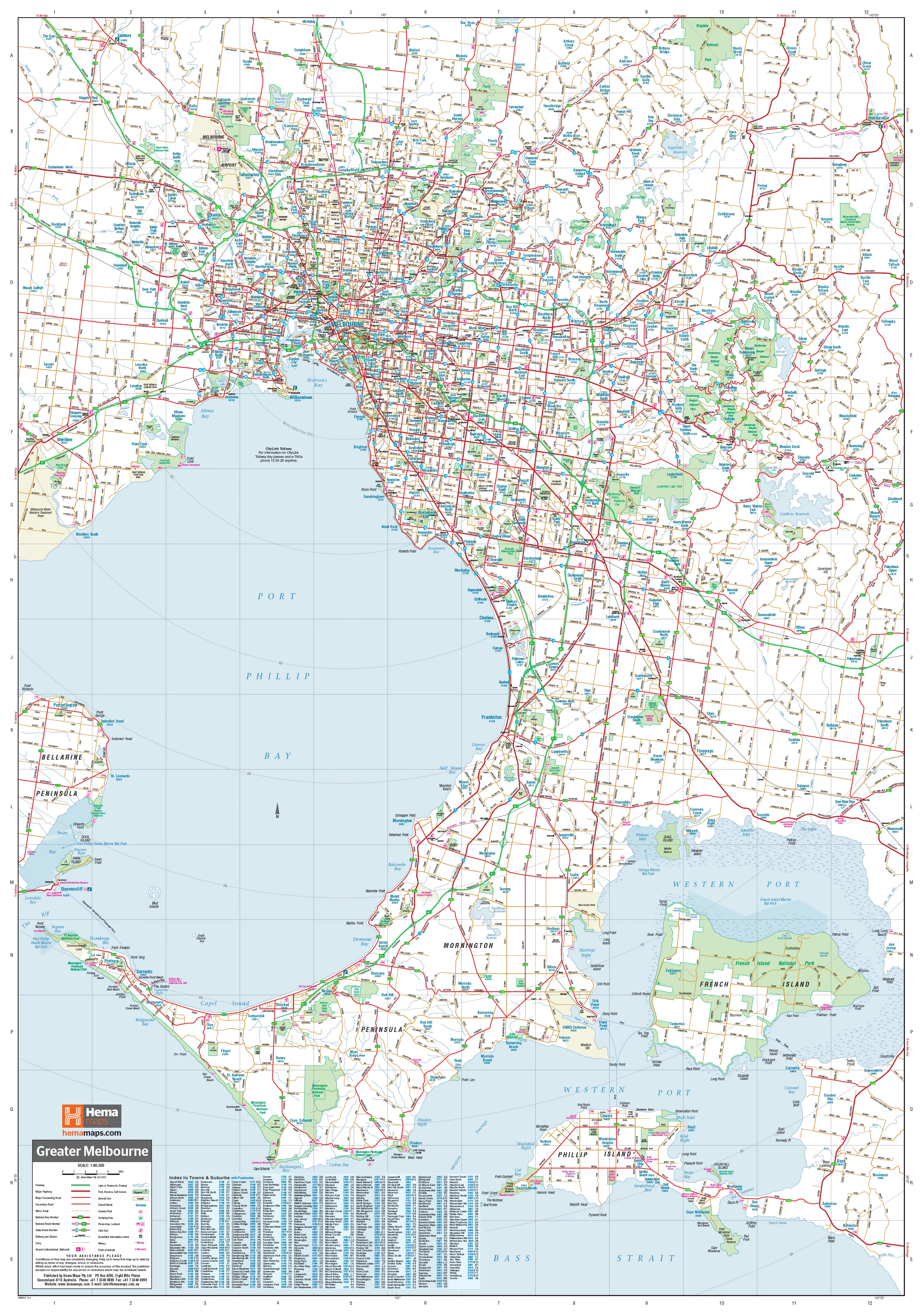
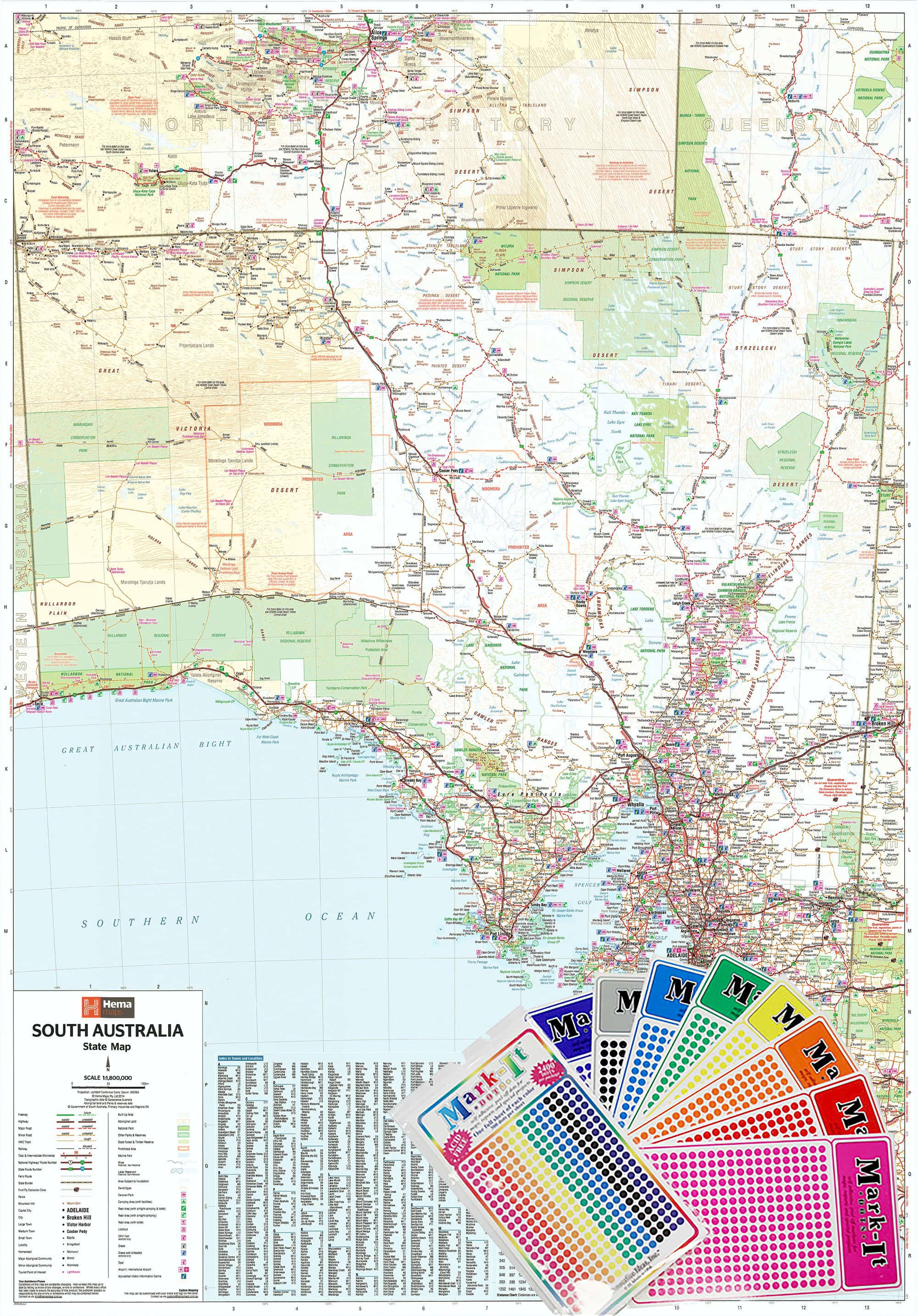
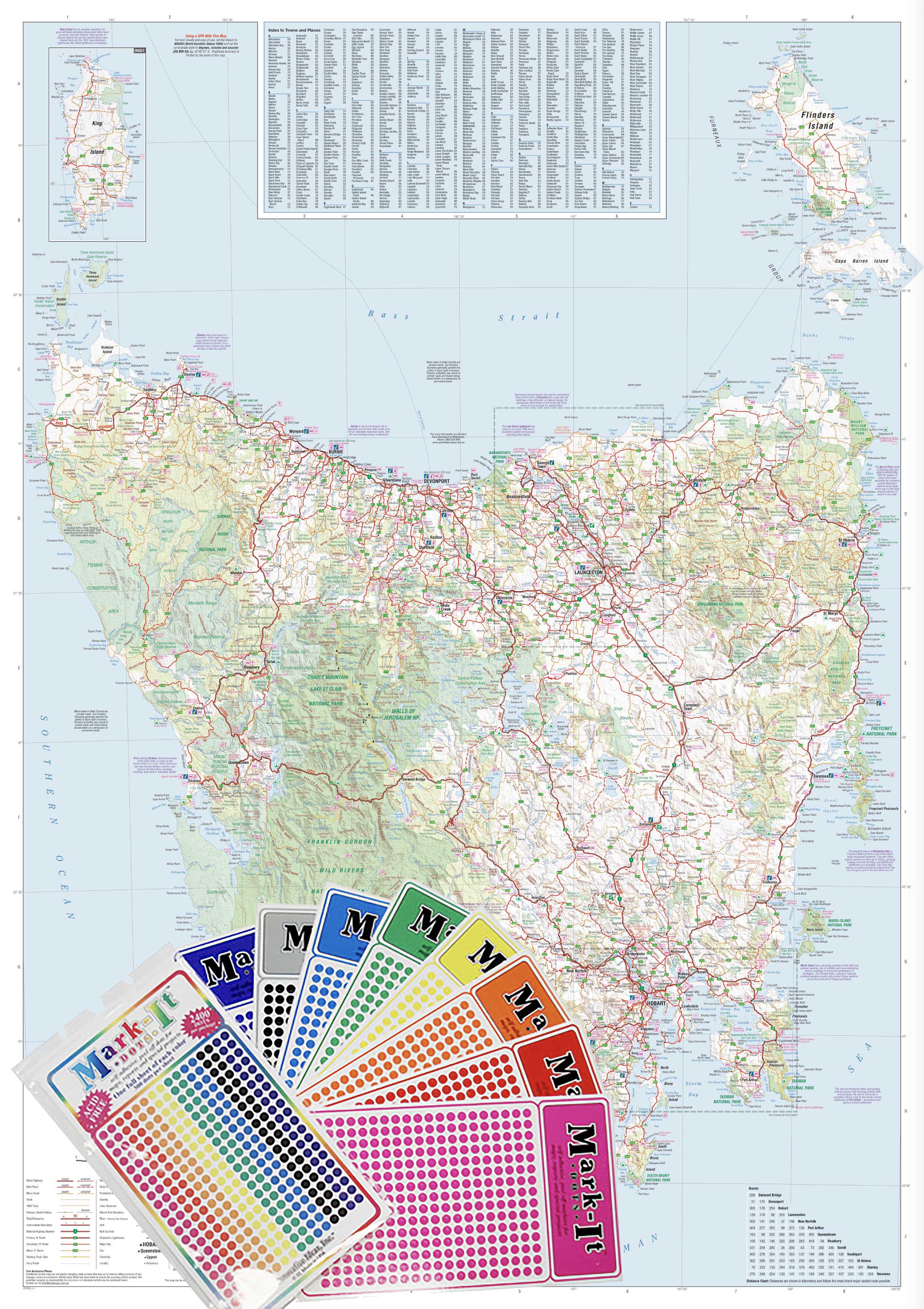
Statewide Coverage: From Kununurra in the north to Albany in the south, every region is covered in meticulous detail.
-
Inset Map of South West WA: Includes expanded detail of the heavily populated southwest corner, including Perth, Bunbury, Margaret River, and Albany.
-
Extensive Index: Fully indexed for quick reference to towns, cities, and regional locations.
-
Clear Cartography: Depicts major and minor roads, national and state highways, dual carriageways, towns, cities, and homesteads.
-
Natural Features Highlighted: National parks, state forests, nature reserves, and significant topographical features are all clearly marked.
🛡️ Premium Lamination
Printed on quality paper and encapsulated in 100-micron gloss laminate, this map is:
-
Writeable & Wipeable: Use whiteboard markers for temporary notes or planning.
-
Tear-Resistant & Durable: Withstands heavy use in offices, classrooms, and field stations.
-
UV-Protected Surface: Reduces fading in well-lit environments.
📐 Specifications
| Feature | Details |
|---|---|
| Format | Laminated, single-sheet |
| Map Code | UBD 670 |
| Dimensions | 1400 mm (W) × 2000 mm (H) |
| Material | 120 gsm paper + 100-micron gloss laminate |
| Publisher | UBD Gregory’s |
| Inset Coverage | South West WA |
🏢 Ideal For
-
Mining & Resources Industry
-
Transport & Logistics Companies
-
Tourism Operators & Visitor Centres
-
Government Departments & Planning Authorities
-
Schools & Universities
-
Travellers, Caravaners & 4WD Adventurers
Maximise your overview of Australia’s largest state with the UBD Western Australia 670 Mega Map—a premium laminated wall map that’s equal parts functional and impressive.
Product Information
Product Information
Shipping & Returns
Shipping & Returns

Western Australia UBD 670 map 1400 x 2000mm Laminated Wall Map
Western Australia UBD 670 map 1400 x 2000mm Laminated Wall Map
The Most Comprehensive State Map of Western Australia – Oversized, Durable, and Incredibly Detailed
Format: Single-Sheet Laminated Wall Map
Size: 1400 mm (W) × 2000 mm (H)
Publisher: UBD Gregory’s
Edition: UBD 670 – Latest Release
Coverage: Statewide with South West Inset
📌 Overview
Covering the vast and diverse expanse of Western Australia, this UBD 670 Mega Map is the largest single-sheet map available of the state. Measuring an impressive 1.4 metres by 2.0 metres, this wall map delivers extraordinary clarity and detail, making it an indispensable reference tool for:
-
Business operations across regional WA
-
Tourism and travel planning
-
Resource exploration and logistics
-
Education, government, and infrastructure planning
Whether you’re tracking distribution routes across the Outback or planning your next 4WD adventure through the Kimberley, this map ensures you see the big picture.
🧭 Key Features
-
Statewide Coverage: From Kununurra in the north to Albany in the south, every region is covered in meticulous detail.
-
Inset Map of South West WA: Includes expanded detail of the heavily populated southwest corner, including Perth, Bunbury, Margaret River, and Albany.
-
Extensive Index: Fully indexed for quick reference to towns, cities, and regional locations.
-
Clear Cartography: Depicts major and minor roads, national and state highways, dual carriageways, towns, cities, and homesteads.
-
Natural Features Highlighted: National parks, state forests, nature reserves, and significant topographical features are all clearly marked.
🛡️ Premium Lamination
Printed on quality paper and encapsulated in 100-micron gloss laminate, this map is:
-
Writeable & Wipeable: Use whiteboard markers for temporary notes or planning.
-
Tear-Resistant & Durable: Withstands heavy use in offices, classrooms, and field stations.
-
UV-Protected Surface: Reduces fading in well-lit environments.
📐 Specifications
| Feature | Details |
|---|---|
| Format | Laminated, single-sheet |
| Map Code | UBD 670 |
| Dimensions | 1400 mm (W) × 2000 mm (H) |
| Material | 120 gsm paper + 100-micron gloss laminate |
| Publisher | UBD Gregory’s |
| Inset Coverage | South West WA |
🏢 Ideal For
-
Mining & Resources Industry
-
Transport & Logistics Companies
-
Tourism Operators & Visitor Centres
-
Government Departments & Planning Authorities
-
Schools & Universities
-
Travellers, Caravaners & 4WD Adventurers
Maximise your overview of Australia’s largest state with the UBD Western Australia 670 Mega Map—a premium laminated wall map that’s equal parts functional and impressive.
Original: $549.00
-70%$549.00
$164.70Product Information
Product Information
Shipping & Returns
Shipping & Returns
Description
The Most Comprehensive State Map of Western Australia – Oversized, Durable, and Incredibly Detailed
Format: Single-Sheet Laminated Wall Map
Size: 1400 mm (W) × 2000 mm (H)
Publisher: UBD Gregory’s
Edition: UBD 670 – Latest Release
Coverage: Statewide with South West Inset
📌 Overview
Covering the vast and diverse expanse of Western Australia, this UBD 670 Mega Map is the largest single-sheet map available of the state. Measuring an impressive 1.4 metres by 2.0 metres, this wall map delivers extraordinary clarity and detail, making it an indispensable reference tool for:
-
Business operations across regional WA
-
Tourism and travel planning
-
Resource exploration and logistics
-
Education, government, and infrastructure planning
Whether you’re tracking distribution routes across the Outback or planning your next 4WD adventure through the Kimberley, this map ensures you see the big picture.
🧭 Key Features
-
Statewide Coverage: From Kununurra in the north to Albany in the south, every region is covered in meticulous detail.
-
Inset Map of South West WA: Includes expanded detail of the heavily populated southwest corner, including Perth, Bunbury, Margaret River, and Albany.
-
Extensive Index: Fully indexed for quick reference to towns, cities, and regional locations.
-
Clear Cartography: Depicts major and minor roads, national and state highways, dual carriageways, towns, cities, and homesteads.
-
Natural Features Highlighted: National parks, state forests, nature reserves, and significant topographical features are all clearly marked.
🛡️ Premium Lamination
Printed on quality paper and encapsulated in 100-micron gloss laminate, this map is:
-
Writeable & Wipeable: Use whiteboard markers for temporary notes or planning.
-
Tear-Resistant & Durable: Withstands heavy use in offices, classrooms, and field stations.
-
UV-Protected Surface: Reduces fading in well-lit environments.
📐 Specifications
| Feature | Details |
|---|---|
| Format | Laminated, single-sheet |
| Map Code | UBD 670 |
| Dimensions | 1400 mm (W) × 2000 mm (H) |
| Material | 120 gsm paper + 100-micron gloss laminate |
| Publisher | UBD Gregory’s |
| Inset Coverage | South West WA |
🏢 Ideal For
-
Mining & Resources Industry
-
Transport & Logistics Companies
-
Tourism Operators & Visitor Centres
-
Government Departments & Planning Authorities
-
Schools & Universities
-
Travellers, Caravaners & 4WD Adventurers
Maximise your overview of Australia’s largest state with the UBD Western Australia 670 Mega Map—a premium laminated wall map that’s equal parts functional and impressive.